|
|
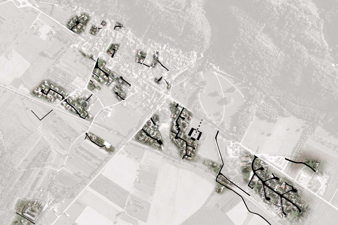
The second semester the first year of master was dedicated to the study of periurbain space and how to reinvigorate it.
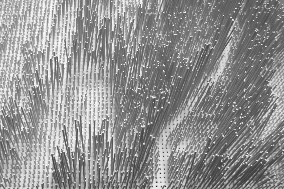
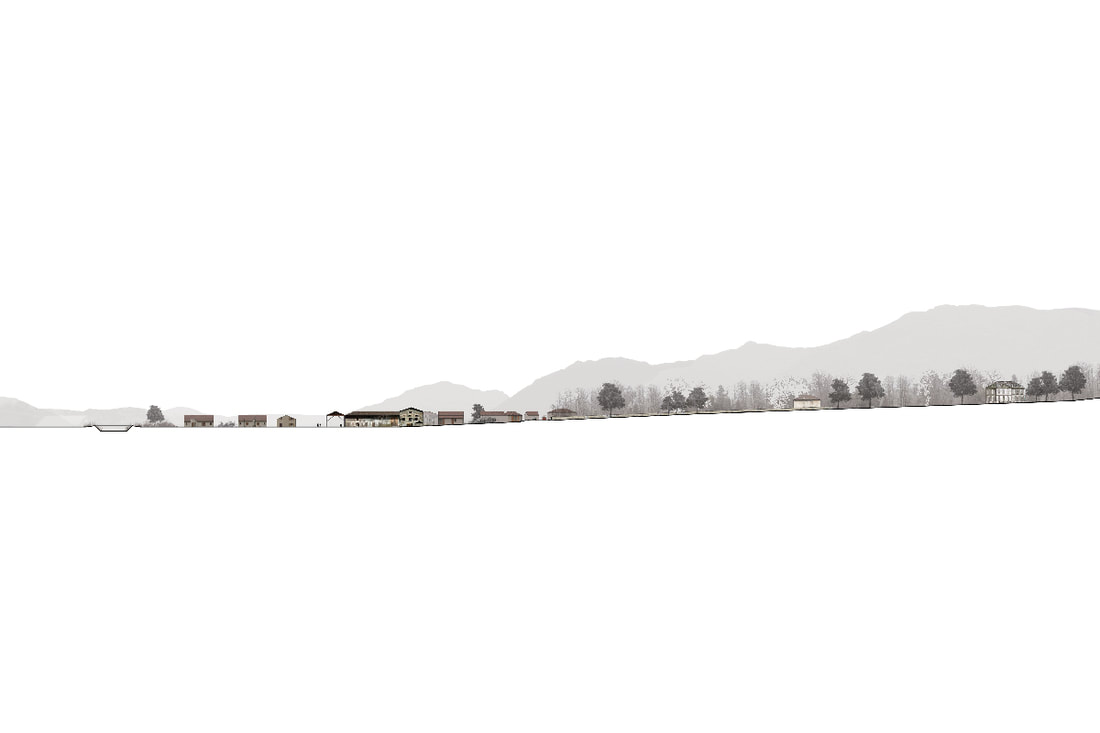
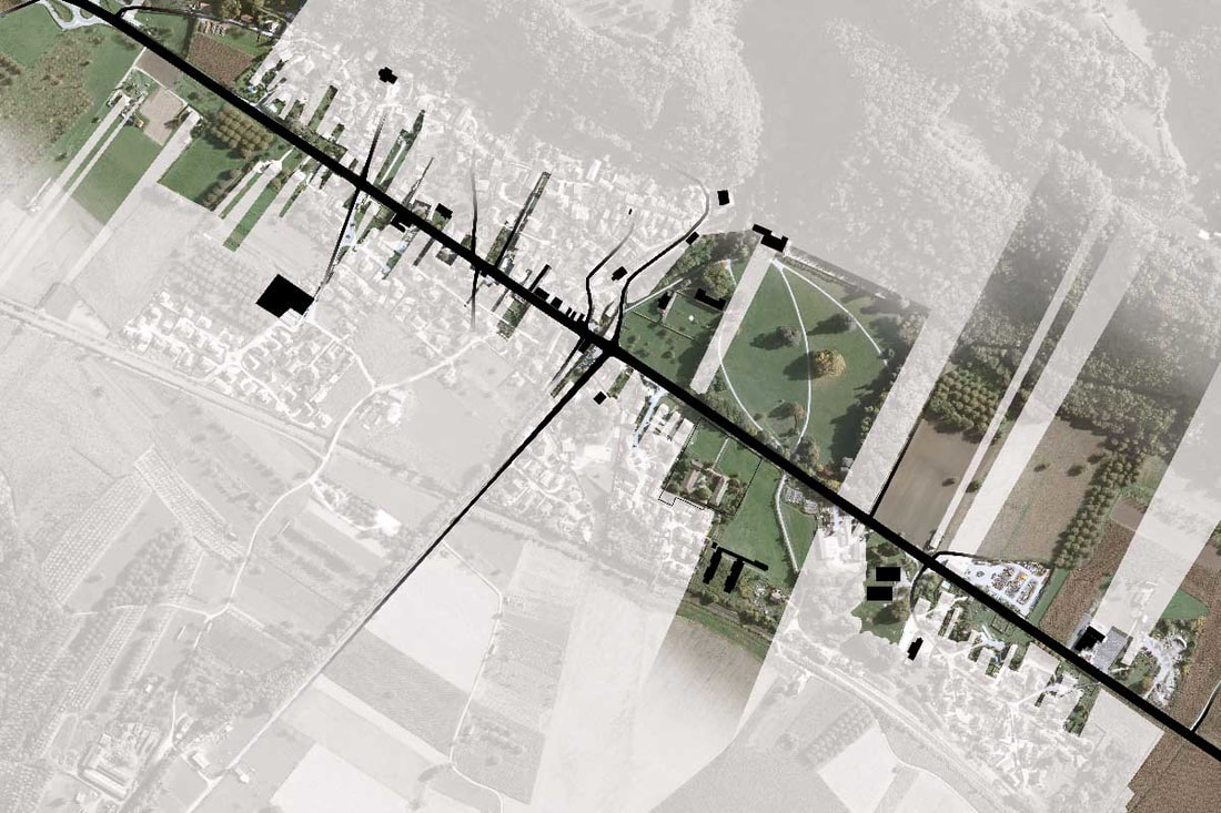
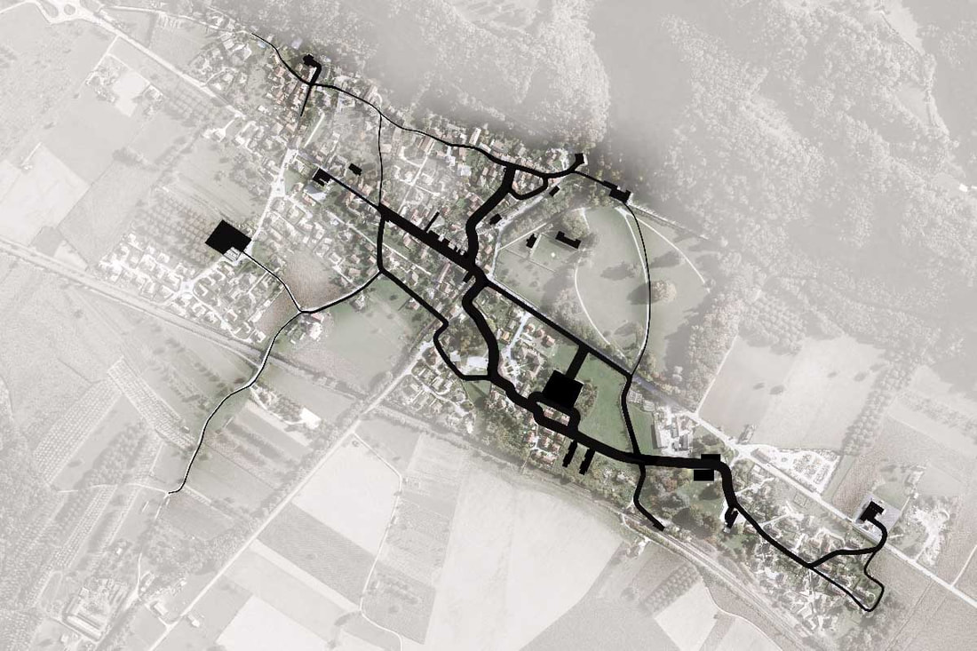
The Grésivaudant valley is located in the north-east of Grenoble (France), sourrounded by two mountain massifs (Belledonne and Chartreuse). The valley is crossed by the Isère river, running next to a highway and a railway. Those elements of connection represent real barriers on the land scale. Therefore, we decided to analyse the impact of the speed of travel through land. To do this, we devided the entire valley in squares of 100 meters a side, and in each square we represented the travel speed on a model, using different spaghetti heights (picture hereafter). TERRITORY ANALYSIS
School project (ENSAG) / 2012 Avenue du Grésivaudan, Tencin, France Credits: Nicolas Pabion |
|